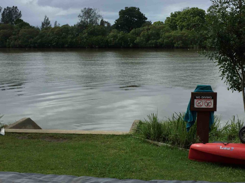
Bellinger River, an open and trained mature wave dominated, barrier estuary, is located in the Mid North Coast region of New South Wales, Australia.
Course and features
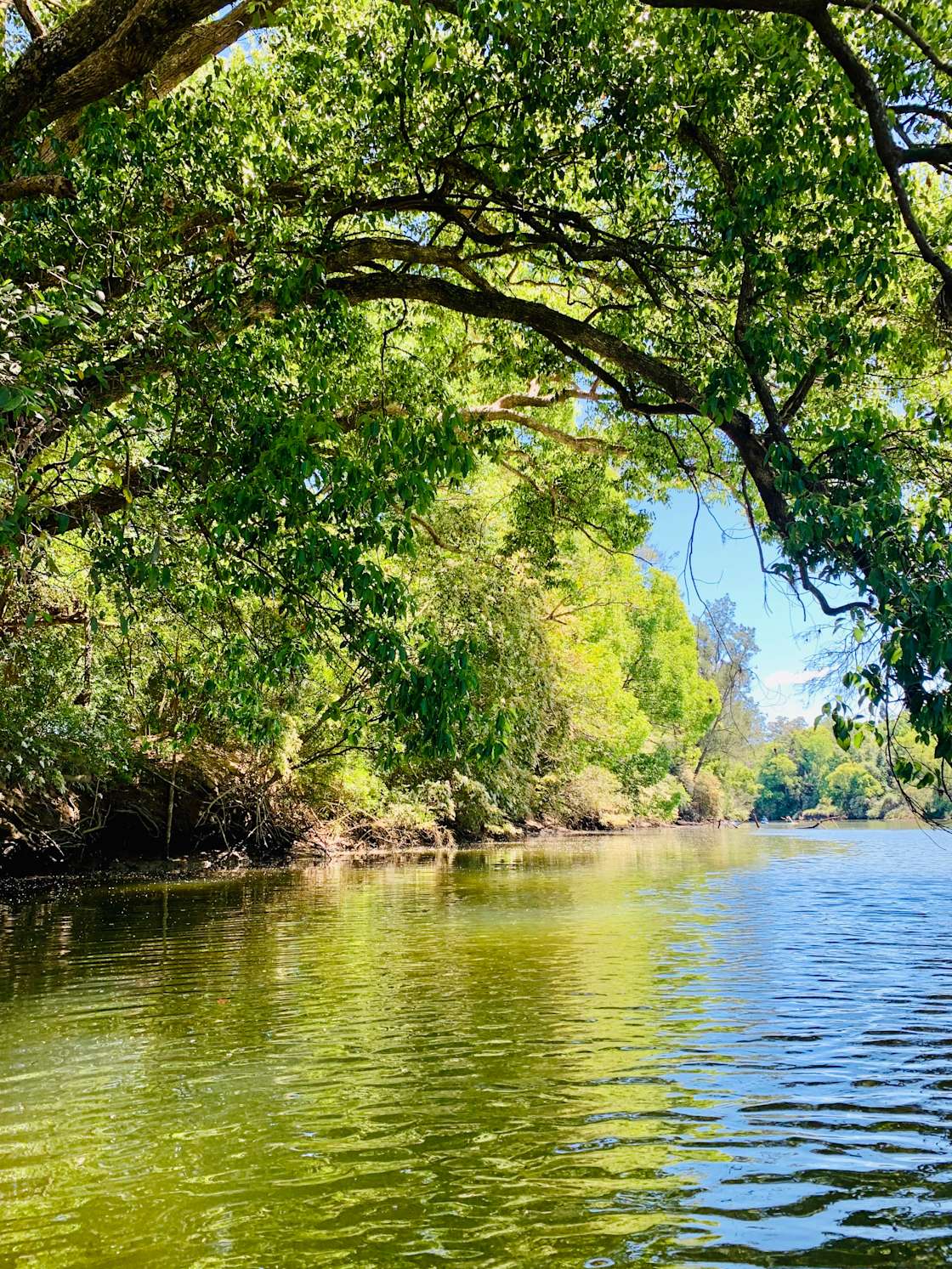
Bellinger River rises below Point Lookout within the Great Dividing Range, southeast of Ebor, and flows in a meandering course generally east, joined by four tributaries including Never Never River, before reaching its mouth at the Tasman Sea of the South Pacific Ocean, east of Urunga. The river descends 1,150 metres (3,770 ft) over its 69 kilometres (43 mi) course.
Parts of the Bellinger River are contained within the Bellinger River National Park and the New England National Park. Other land uses in the valley include livestock grazing and forestry.
Waterfall Way is located adjacent to the middle reaches of the Bellinger River; and towards its mouth, the river is transversed by the Pacific Highway, near Raleigh.
A rare Australian turtle, the Bellinger River snapping turtle (Myuchelys georgesi), has a restricted distribution in the upper Bellinger River above Thora.
History
Clement Hodgkinson was the first European to explore the area in March 1841.
See also
- Rivers of New South Wales
- List of rivers of Australia
References
External links
- "Bellinger River & Coffs Harbour catchments" (map). Office of Environment and Heritage. Government of New South Wales.